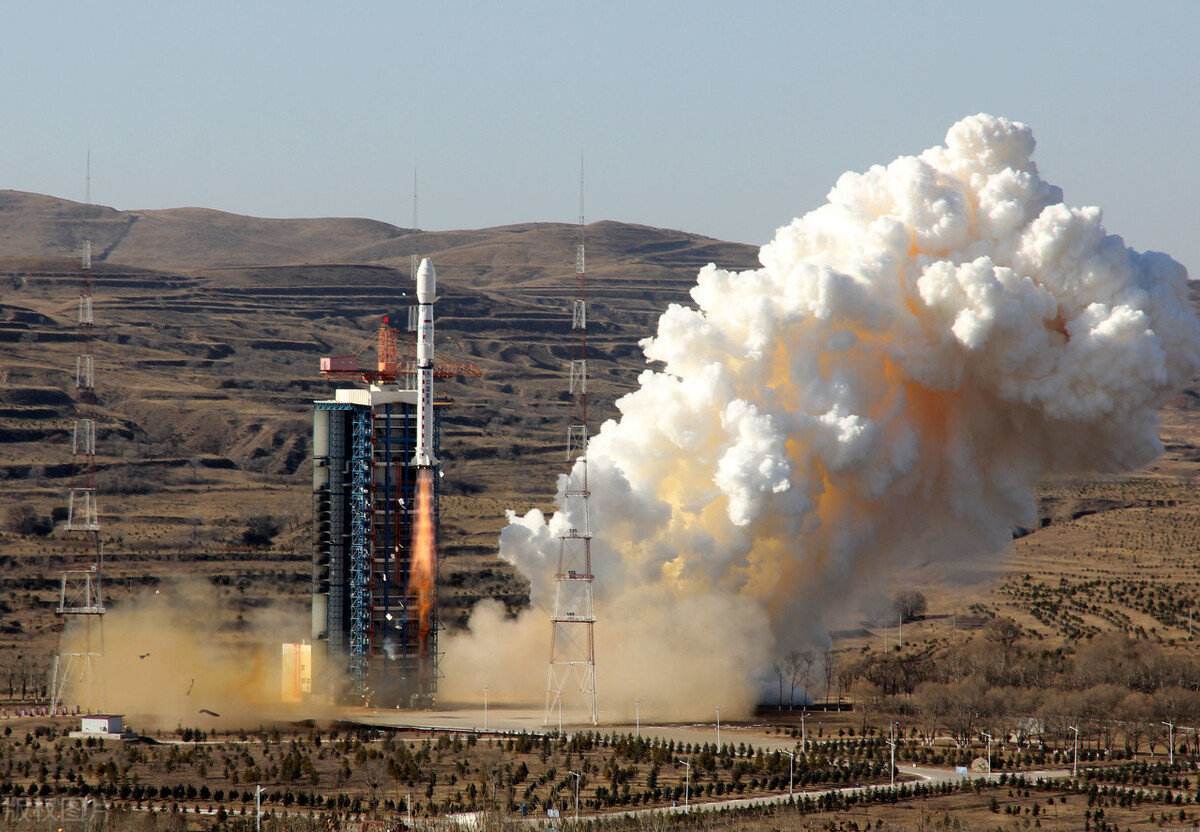
December 3 that with the latest satellite in the Remote Sensing 30 series into orbit, a constellation of great significance to China’s national defense and security has been officially completed and put into use, and this constellation has given China full-time coverage of the world, especially Taipei. According to the French media Oriental Pendulum, the actual revisit rate monitored by the system is about 30 minutes/time.
From this, it can be seen that with the further deepening of our military struggle against Taiwan, the mainland has built an airtight unified network from almost all space and fields from space, adjacent space, air, air, land, electromagnetic space, etc. When the time is ripe, you can win with an order and a decisive battle. A few days ago, retired U.S. Admiral McChrystal said: I’m afraid that Taiwan will be “cooked with raw rice” overnight. This general is right. This is what the mainland wants.
Since the collapse of the Soviet Union in 1991, the biggest military threat facing China is the maritime threat in the east. With the development of economy, the southeast coastal areas of China have become the most active and most developed areas in the global economy and the most developed manufacturing industry. They are also the essence of China’s reform and opening up, and these areas are now directly exposed to the muzzle of the U.S. Pacific Fleet. The average distance from China’s most prosperous and prosperous southeast coastal area is only about 400 kilometers, which is the “first island chain” created by the United States, and further away there are the “second island chain” and “third island chain”.
Because the United States has always used force as a backing in international exchanges and pursued hegemonic policies that harm the interests of other countries, including for large countries such as China and Russia, the geo-security in eastern China is actually very bad. Theoretically, once a conflict between China and the United States breaks out, the economically developed areas along China’s coast will be exposed to the air strikes of the U.S. military.
For decades, the PLA has been committed to building a strategic defense system in the eastern coastal areas, and this system is now on its in its intensification. At the military parade on the 70th anniversary of the founding of the People’s Republic of China last year, China showed that three new ballistic missiles, DF-17, DF-21 and DF-26, all have the ability to strike mobile targets, which better improved the geographical disadvantages in the southeast.
At present, anti-ship ballistic missiles are China’s unique stunt (Iran’s “anti-ship ballistic missiles” with a range of 150 kilometers are basically of practical significance), and the range of these three anti-ship ballistic missiles is between 2,500 and 4,000 kilometers, which is enough to cover most of the sea areas within the first and second island chains, so that China In the case of relatively weak navy and geographical disadvantage in the face of the US-Japan island chain, it can still rely on ballistic missiles to form a deterrence that is equivalent to the United States and Japan.

Because the first island chain is completely covered by China’s surface-to-surface missiles, once a war conflict breaks out, the fixed targets on the island chain will be cleared by PLA missiles and rockets in the first place, and the only thing that the United States and Japan can rely on is the aircraft carrier battle group.
This is also the core reason why China vigorously develops anti-ship ballistic missiles: using the range and penetration advantages of long-range ballistic missiles to directly destroy the enemy’s aircraft carrier, so that the other party loses the ability to intervene in the whole western Pacific region. This combat idea is called “anti-intervention/regional denial tactics”, abbreviated as “A2″ /AD”.
But even ballistic missiles need a sufficiently accurate and timely observation system to play a real combat effectiveness. This is because the minimum range of the three ballistic missiles DF-17/21/26 is 2,500 kilometers, which is completely beyond the human eye line of sight, and even beyond the “line of sight” of ordinary radar.
Even early warning aircraft can’t “see” such a distance, so we should give full play to the power of the three anti-ship ballistic missiles. Therefore, satellites must be used to detect and monitor the relevant sea areas. Once a target is found in wartime, it can immediately inform the rear command, and then the command decides whether to attack the target.

In the whole A2/AD tactics, the ability to find the enemy’s maritime fleet, especially the aircraft carrier battle group, in real time, will be the key to the success of the whole strategy. Now, through the new constellation formed within the remote sensing satellite system, the PLA has the ability to monitor the whole southeast coastal region and even the global ocean in real time for the first time.
The “South China Sea Situational Awareness” platform has repeatedly disclosed photos of American aircraft carriers sailing in the South China Sea and the ocean east of the Philippines. From these photos, it can be made clear that China’s satellite remote sensing system has not only been basically established, but also has the ability to effectively detect and locate the American aircraft carrier battle group. In a sense, this demonstration of ability is a deterrent to guarantee peace.
Some people don’t know the significance of national space activities? Here I can tell them that many defense products, including nuclear weapons, aerospace, etc., may not have economic benefits, and you may not see their effect in peacetime, but they are always protecting our security. They are like air.
Obviously, China’s goal is not just the first island chain or the western Pacific region. According to Li Deren, academician of the Chinese Academy of Sciences, the revisit rate of remote sensing satellite systems currently used in China is the highest in the world. On average, about 30 minutes, the target will be revisited once, which is almost equivalent to real-time monitoring.
In the future, China will expand the scope of real-time monitoring from within the first island chain of the western Pacific Ocean to the whole country along the way, and finally to the whole world, and the revisit rate will also be shortened from 30 minutes today to 5 minutes to achieve real real-time monitoring.