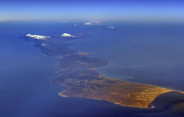
According to a report by Japan’s Yomiuri Shimbun on the 5th, a source said that the Japanese government plans to compile a vegetation map of northern Japan during fiscal year 2021.
According to the report, since the Japanese government was unable to carry out on-site inspections of the “four northern islands” (known as the South Kuril Islands in Russia), it planned to use satellite imagery to map.
The purpose of this move is to declare to the international community that “the islands in the eastern part of Hokkaido are an inherent part of Japanese territory”.
In addition to the northern territories, Japan has mapped vegetation for other areas, including what it calls “Takeshima” (called Dokdo Island) in Shimane Prefecture, which it is “illegally occupied by South Korea), and the Diaoyu Islands, which is actually Chinese territory.
The survey will last for about a year, covering about 5,000 square kilometers in the northern region.
In addition to analyzing satellite images managed by the Japanese government, the Japanese government will purchase images from the private sector and overseas entities, combine multiple images and compare seasonal changes to map them.
In 2015, the Japanese government used satellite imagery to map the vegetation of the Diaoyu Islands.
The report said that the scale of the map will not be the usual 25000:1, but the rough 200,000:1 due to the inability to conduct field investigations. Even so, it is said that this is enough to understand the general situation of plant distribution.
This type of topographic map can show the distribution of plant species, can be used for environmental assessment of construction projects, and can also be used as raw materials for responding to problems such as disaster prevention and control and wildlife.
An official of the Biodiversity Center of Yamanashi Prefecture, Ministry of Environment of Japan, said: “We look forward to new discoveries in northern Japan, where plants are different from those in eastern Hokkaido.”


